
Winter Weather Advisories continue until 7 p.m. for Darke, Miami, Shelby, Clark, Champaign and Logan counties.
Advisories were canceled for Butler, Warren, Clinton, Greene, Montgomery and Preble counties.
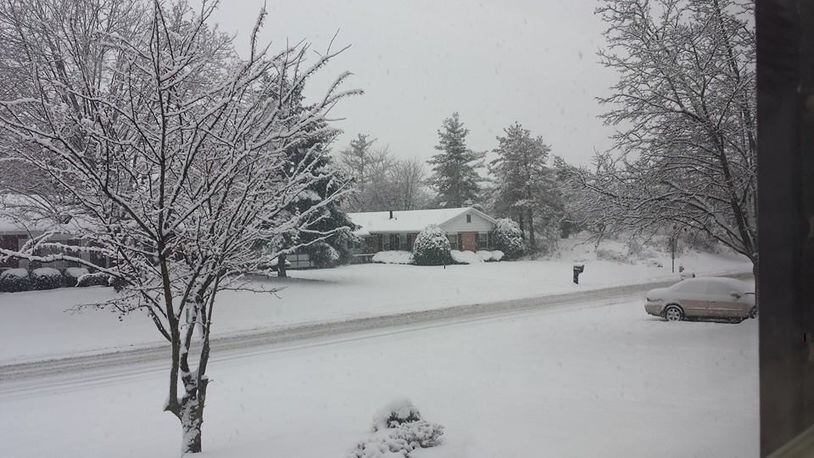
"Snow for north and central (News Center 7) viewing areas can get a little heavy at times this afternoon," said Storm Center 7 Meteorologist Kristie Zontini.
While northern counties continue to deal with snow, a transition started after noon to rain and mixed precipitation along Interstate 70 as the storm system moves north and east throughout the day, Zontini said.
Temperatures are expected to rise into the mid 30 south of Dayton and lower 30s to the north.
Sunday morning slick spots are possible and there is a chance of lingering snow showers mainly in the evening.
It will be partly sunny and highs in the mid 20s with lows falling into the low teens.
There will be a cold start to Monday and slippery roads are possible. It will be mostly cloudy with highs near 30 degrees.
"Snow showers will be possible again from Monday evening into Tuesday. Accumulations are looking light but could still coat roads. Lows in mid 20s," said Zontini.
Tuesday will be mostly cloudy and snow showers will linger with highs near 32 degrees.
About the Author